
National Equestrian Center > Related Locations
Find Nearby Hotels
Search
Can’t find this agility trial location in the hotel search? That means there are no nearby hotels in the directory yet. Contact us to submit one!
Emergency Vets >
* 636-240-5496
* 334 Ft. Zumwalt Sq. O’Fallon, MO 63366
*Directions from National Equestrian Center (Arena A): North on Lake St Louis Blvd to Hwy 40. West on Hwy 40 to I-70. East on I-70 to Exit 217, Hwy K. Right on Hwy K. Right on Veterans Memorial Pkwy.
Local Restaurants >
* 1897 Wentzville Pkwy, Wentzville, MO 63385
* 636-327-5454
Ethyl’s Smokehouse
* 8505 Veterans Memorial Pkwy, O’Fallon, MO 63366
* 636-978-7755
Stefanina’s Pizzeria
* 8645 Veterans Memorial Pkwy, O’Fallon, MO 63366
* (636) 272-3499
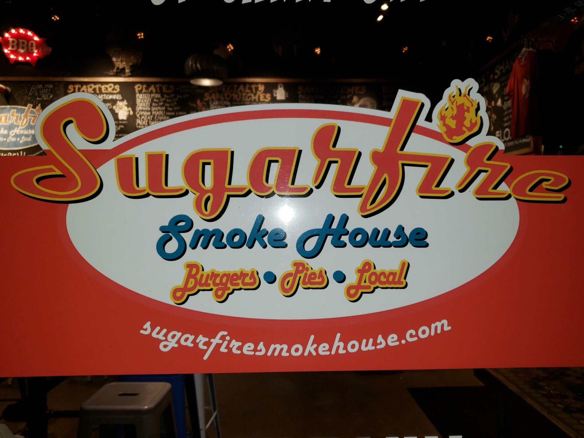 Sugarfire Smokehouse
* 9955 Winghaven Blvd, O’Fallon, MO 63368
* (636) 265-1234
* Rustic local BBQ chain serving ribs, salmon, brisket cheesesteaks, spiked shakes & more.
Website | Directions |
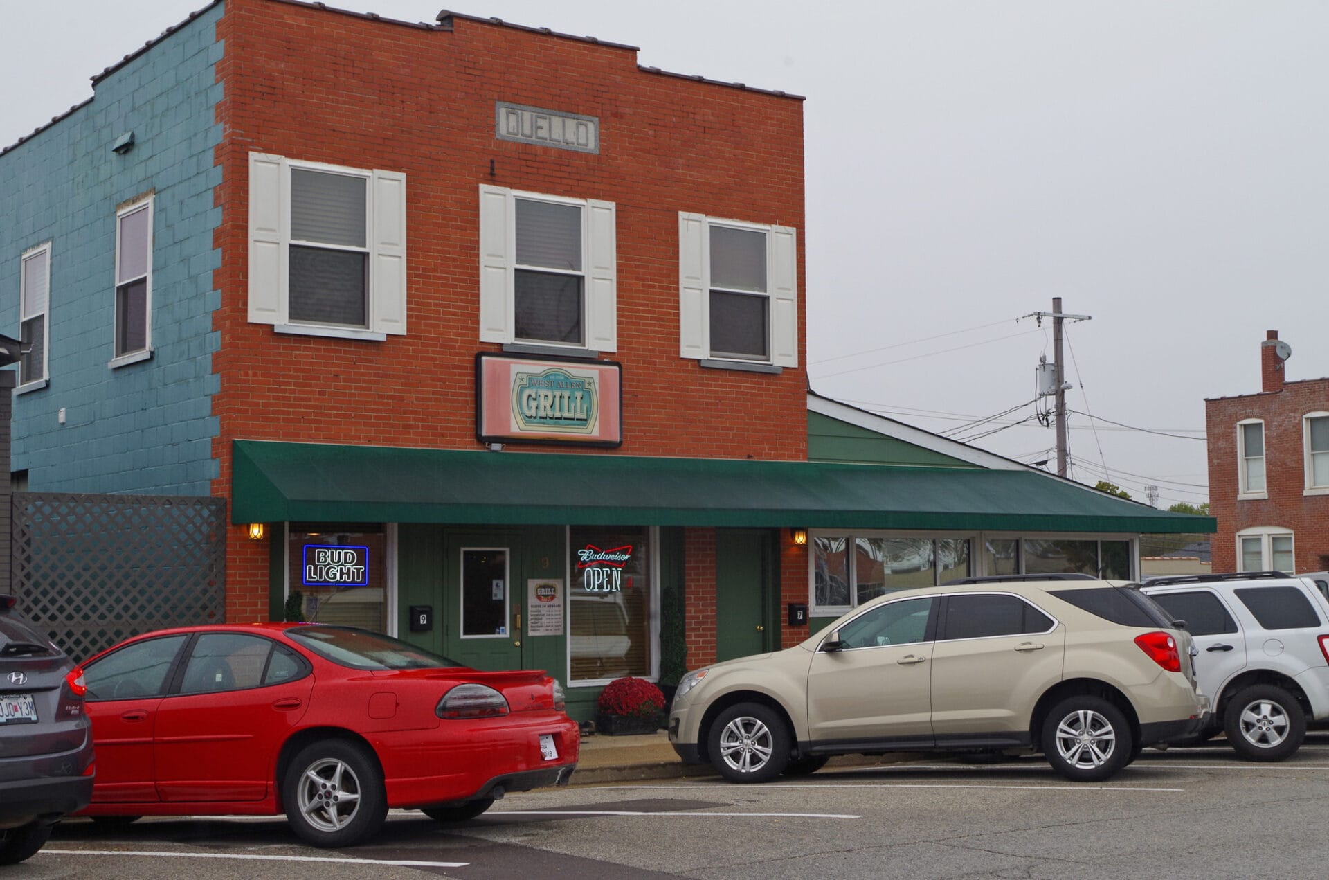 West Allen Grill
* 9 W Allen St., Wentzville MO 63385-1401
* 636-327-3030
Website | Directions |
Trails, Beaches, Off Leash >
* 1795 Highway DD, Defiance, MO 63341
* 494 acres with several large lakes and 9+ miles of multi-use trails
* 4.7-acre off-leash dog area with large pond for dogs to swim – voted “Best Dog Park” in the region
* Astronomy viewing area every Friday night, weather permitting
* From Highway 40/61, exit at the WingHaven Boulevard (Highway DD) interchange and go south on Highway DD for approximately 4 miles and turn right into the park entrance. An additional entrance is located on Wilson Road for the dog park and small fishing lake
Quail Ridge Park
* 560 Interstate Dr, Wentzville, MO 63385
* 250 acres, pastures, woodlands, creek
* Paved and unpaved trails
* 2.5-acre off-leash dog park
* 18-hole disc golf course
Weldon Spring Hollow
* Designated as a natural area. Dogs allowed on leash.
* 385 acres of scenic forests with mature trees and 100 ft tall bluffs overlooking the Missouri River
* From the intersection of Highway 40/61 and Highway 94 in Weldon Spring travel west on Highway 94. Continue past Highway D and in 1.1 miles look for the parking lot on the left (south) side of Highway 94.
* At the parking lot is the trailhead for the Lewis and Clark hiking trails that provide excellent access to the natural area. The Lewis Trail is an 8.2-mile loop and the Clark Trail is a 5.3-mile loop. Both trails provide access to the forests and scenic bluffs of the natural area.